Log the core
Lithology, alteration, structure, mineralization, RQD and more, each on its own tab, with a strip log drawn beside the table as you type.
Logging →Drill-core logging for Windows
TotalGeo is one program for a whole drill program: log the core, bring in the assays, check the QAQC, work out the intervals, and draw the holes on sections and in 3D.
See it work
Logging a hole, the lab results and QAQC, composites above a cut-off, the holes in 3D and a section to scale. No sound.
What it does
Lithology, alteration, structure, mineralization, RQD and more, each on its own tab, with a strip log drawn beside the table as you type.
Logging →Sample numbers laid out with your standards, blanks and duplicates in place. Lab certificates read in, and the QAQC checked against certified values.
Samples and assays →Composites above a cut-off with “including” intervals, metal equivalents from your own price table, and estimated true widths.
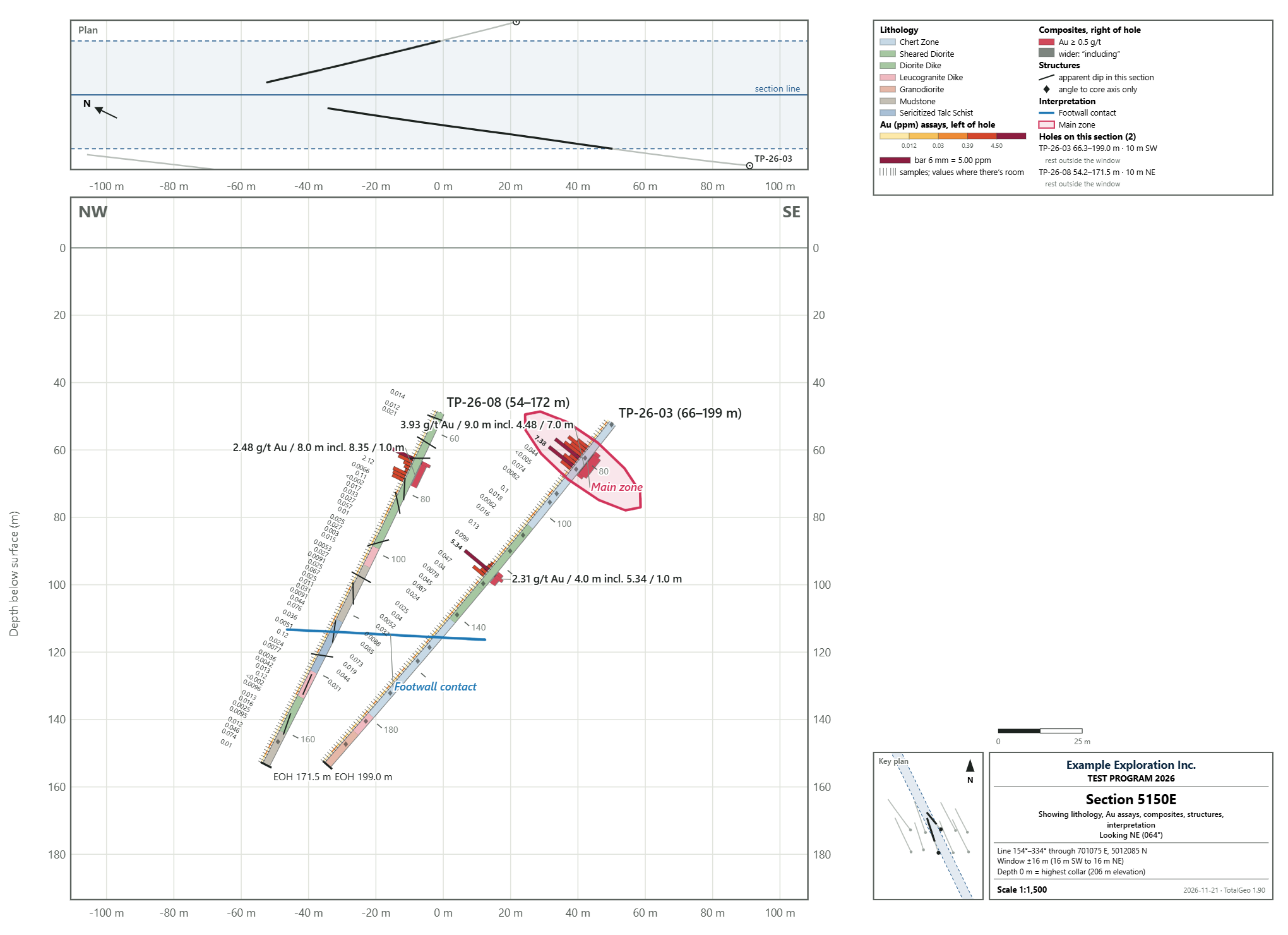
Intervals →Cross-sections with lithology, assay bars, composites and your own interpretation lines, on a sheet from Letter to a 42-inch roll, as a PDF or a picture.
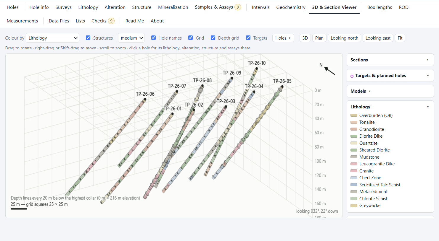
Sections →The whole program in 3D with your DXF models. Mark a target and a hole to reach it is proposed from the holes around it.
3D viewer →A finished log as a PDF and an Excel file, with strip-log pages and core photos, and files laid out ready for a drillhole database.
Reports and exports →Sections
Pick the holes or draw the line on the plan. The section is laid out to a standard scale with its plan strip, legend, title block and key plan, ready for a report.
Why it is built this way
Intervals that overlap, depths past the end of the hole, samples that cross a contact: each is listed, and a click takes you to the row.
Holes live together in a program folder, so composites, sections, the 3D view and the exports cover every hole at once.
Each hole is a plain file you can copy and back up. Logs come out as PDF and Excel, and data as CSV for other software.
Read what each part does, or go straight to the download page.